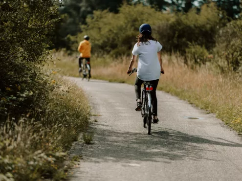
One thousand bike terminals
Personalise your bike route
How to get there
Route de la Plate Taille 99, 6440 Froidchapelle
The advantage of this à la carte network is that you can create your own itinerary with three to eight kilometre stretches, which you can always adapt along the way. This way, you can discover lovely and (sometimes) new bike routes right beside your house.
Gallery
No need for a map
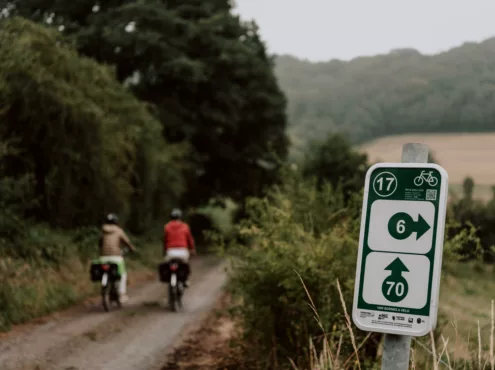
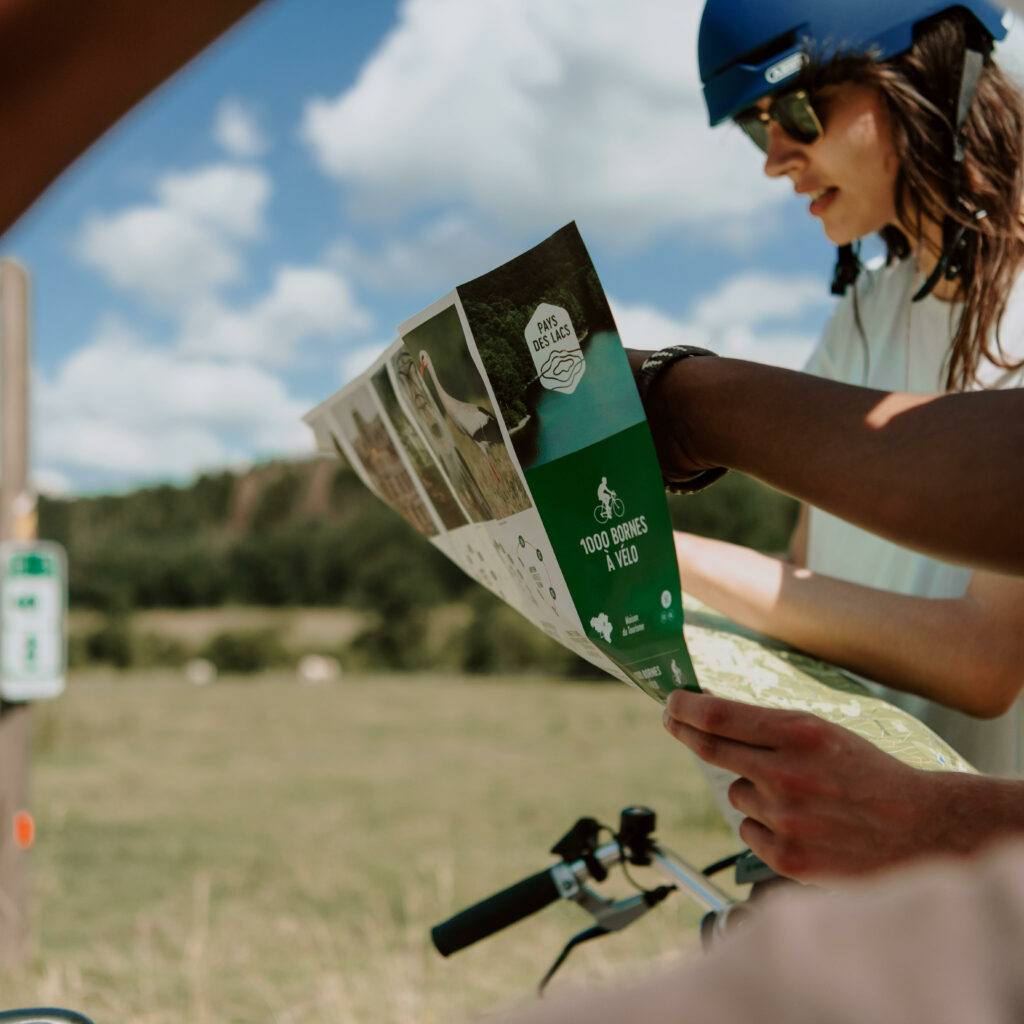
There’s no need to stop at every intersection and check your map – the signposts are all you’ll need. In fact, the concept behind this à la carte mark-up is quite straightforward.
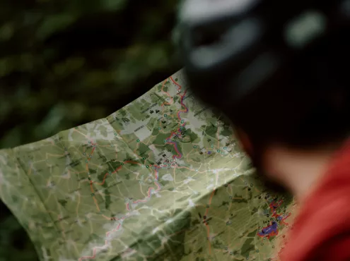
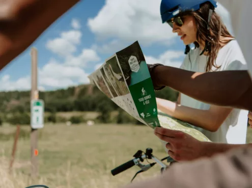
Before you leave, you check the map and/or website and create your itinerary. You follow a number, which corresponds to a section measuring between three and eight kilometres, and then choose a new number at each intersection that corresponds to another section.
For example, you are in Barbençon, at point-nœud 80, coming from Boussu-lez-Walcourt. You can choose either number 78 and then 15 to Pry, or 81 and then 77 to Clermont.
This system is quite practical. You can easily set off from your own home if you live in the region. You can leave from anyone you want in fact. You personalise your route based on your tastes. You can adapt the itinerary at any time.
The Points-Nœuds network for cyclists
This points-nœuds network spans more than 1,150 kilometres throughout the region. It favours navigable roads. It refers more to trails for all-terrain bikes rather than paths for racing bikes. The idea is to discover the region, not to sprint as fast as possible.
If you’re running low on ideas, you can also follow the themed itineraries. There are seven in the region. Distances vary depending on the routes. You can try out the ‘Entre quiétude des paysages et beauté des bocages’ route. Its nineteen-kilometre distance is a good way to try your hand at cycling. Alternatively, for the more adventurous traveller, try the ‘Nature sauvage de la Calestienne à l’Ardenne’ route, which spans 56 kilometres.
This network is part of a larger project across several countries, which is known as Eurocyclo.
Along the RAVeL network and through the woods
The signposts favour trails that are not widely used by motorists. They pass through fields and forests. They pass by the RAVeL network. They can even be followed with children.
In principle, many panels can be found en route. Tourist agents check them regularly. However, given the number of them throughout the region, some may be damaged or missing. In this case, simply report the issue on the website and it will be quickly sorted.
